SURVEYING AND MAPPING
A detailed survey is the cornerstone of the scientific process
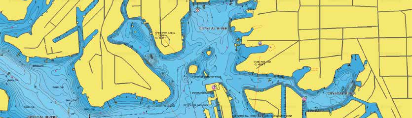
When water conditions are less than ideal, it is important to have a team on your side that can identify the necessary objects the first time. Sea & Shoreline uses surveyor-grade DGPS to create the most accurate and reliable maps.
An accurate depiction of the natural resources present is crucial to the permitting process. Sea & Shoreline is experienced at producing high quality bathymetry surveys that incorporate flora and fauna communities. We are very experienced at locating potential seagrass mitigation and restoration sites.
Survey techniques used include modified Braun-Blanquet method, percent cover estimation, short shoot counts, wetland delineations, and UMAM calculations.
Contact us today


